Herramientas/Tool Index
UrbanPy

What is this?
A package of analytical functions developed in python that solves in an automated way all the required workflow to obtain geographic boundaries of a city, estimate population, locate places of interest, and even calculate travel times through the local street system.
Developed in alliance with the Universidad del Pacífico and the Economic Development Management of the Municipality of Lima using global open data bases.
Why was it developed?
In the context of the COVID-19 pandemic, measuring and correcting accessibility problems, especially to health services, is urgent. The pandemic has forced metropolitan governments in the region to make immediate decisions to plan the distribution of care at the intra-urban level. With this, it has become essential to understand where the residents most in need of help are, and where the deployment of service points, provision of medicines, payment of financial aid, etc. is most needed.
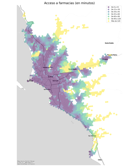
Listening to the needs of different municipalities, from the IDB's Urban Development and Housing Division, we developed a set of mapping techniques and tools with high spatial resolution, combining data on population density and location of key points of interest (pharmacies, hospitals, banks, schools, etc.) to produce detailed accessibility metrics and heat maps indicating the degree of insulation for each sector. What was learned was poured into UrbanPy.
This tool was developed under technical cooperation RG-T3266.
Why are we sharing it?
Because of the way it was created, UrbanPy can be used even without its own data, it can also integrate specific local data, such as places of interest, or geographic areas defined by the municipality, which makes it a versatile tool for planners urban in our region.
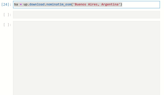
UrbanPy allows you to download cartography of any city
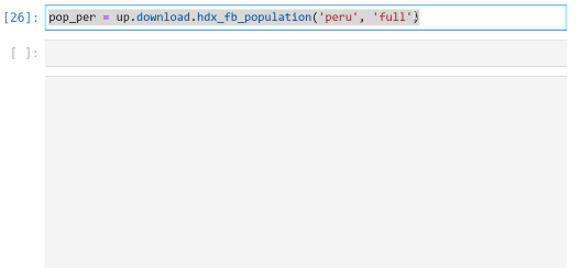
It also allows access to population estimates updated to 2020, with high spatial resolution and global coverage
With UrbanPy you can automatically download and map points of interest (pharmacies, banks, schools, transport stations, etc.) and estimate travel distance from each area of the city to the closest service point
And it generates interactive applications to explore the maps in detail.
Have you reused or is thinking about reusing this tool?
Email us at [email protected] and request an exclusive “tool reuse badge” from the IDB.
Have you participated in the implementation workshop of this tool?
The attendees (live or through our YouTube channel) who send the results of the exercises of our workshops to the email [email protected] will receive the badge by email within a week. To request a new credential submission, please contact: [email protected].