Herramientas/Tool Index
eMAPS Score QGIS Plugin
What is it?
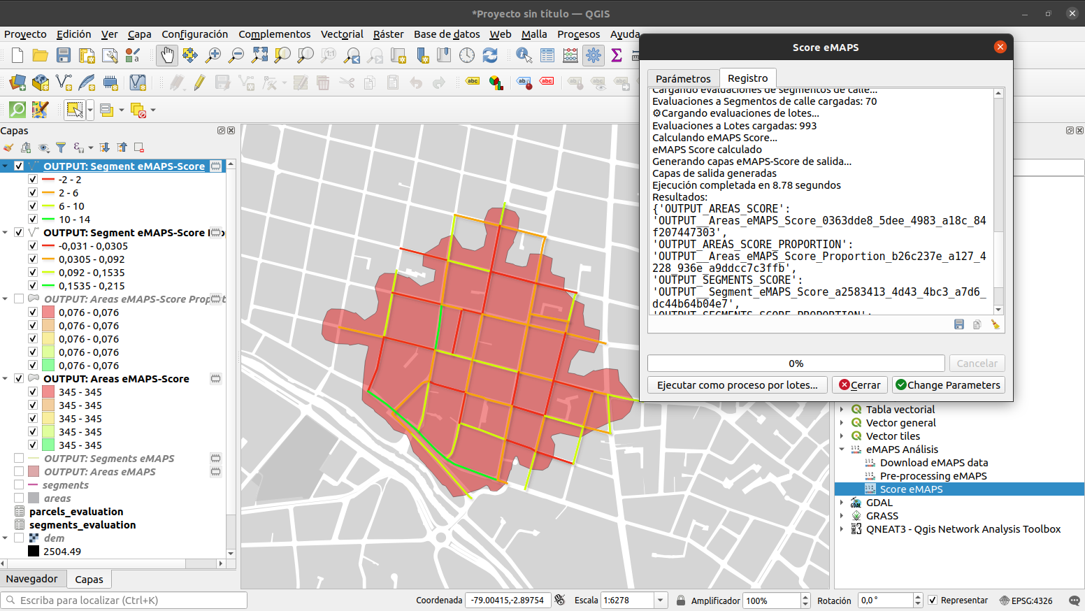
eMAPS Score QGIS Plugin is a QGIS complement for the microscale evaluation of pedestrian environments. In its documentation you will learn the methodology and tools to collect information in the form of eMAPS surveys, configure the score calculation and convert them to walkability scores . Scores are calculated at three levels: item, subscale, and total. The unit of analysis is the street segment, and the street segment scores can be further aggregated (e.g., neighborhoods, buffer zones or isochrons, around schools, etc.)
Why was it developed?
This tool was created to apply the original MAPS protocol (Cain KL, Millstein RA, Geremia CM (2012). Microscale Audit of Pedestrian Cityscapes (MAPS): Data Collection and Scoring Manual. University of California, San Diego. Available to download at: http://sallis.ucsd.edu/measures/maps )
Why are we sharing it?
We believe that the tool is useful for researchers, students and urban planners.

