Herramientas/Tool Index
Poblaciones
What is it?
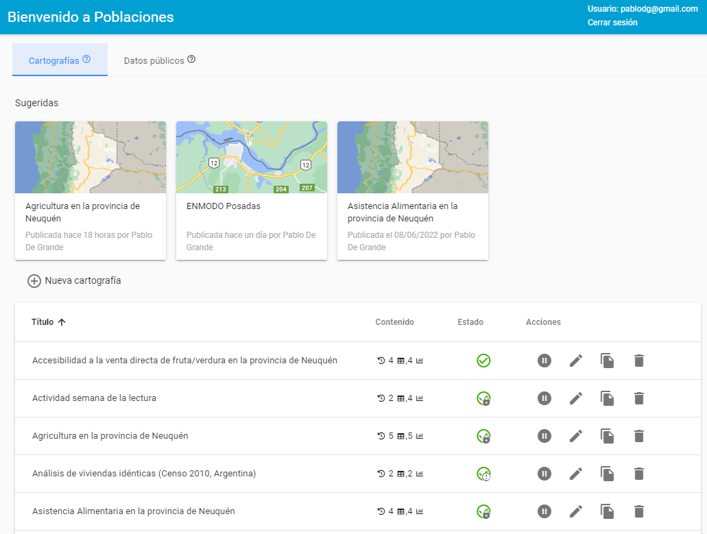
Populations is a software that allows us to offer open and collaborative platforms for spatial data. It allows users to register autonomously, upload datasets and georeference them from various formats (excel, sav, r, stata, shapefile, csv), build and configure spatial indicators with them, making it possible to share this information with others as well as work on it privately.
For those who administer the platform, the software and hardware requirements are minimal, since its architecture -unlike other spatial data web packages- is based on standard technologies available in shared web hosting (PHP/MySQL/Python).
For users, it enables the consultation, visualization and loading of georeferenced information, offering quantitative summaries together with the visualization on the map. Likewise, it recognizes the importance of having a set of indicators common to an entire region or country (census information, school registers, health networks, etc.), which allows administrators to generate this basic information and receive requests for review of users who propose new data for this collective heritage. The administrators also provide general criteria for "cutting" the information, in multiple hierarchies, such as provinces, regions, departments, neighborhoods and other spatial criteria that make the look of the information more relevant to its users.
Populations is a joint initiative of the Argentine Social Debt Observatory (ODSA) of the Argentine Catholic University (UCA) and the National Council for Scientific and Technical Research (CONICET) with the aim of facilitating the publication and free circulation of public information and of social research results of a spatial nature.
Why was it developed?
Poblaciones was developed as a collaborative repository of social and population data from Argentina. Among its main objectives are:
- Make public information accessible to improve understanding of social issues.
- Promote open science, providing a platform where to dump the cartographic production of groups of researchers working on georeferenced social issues.
- Facilitate collaboration between researchers, giving greater visibility to existing production and promoting the reuse of primary sources already available.
- Constitute a reliable and documented source of social information, giving appropriate treatment to institutional references, authorship, methodology and use licenses of each work made available.
- Allow researchers and government agents (national, provincial, municipal) to access critical information for decision-making in public policy and relevant aspects of the administration in a segmented and agile manner.
Why are we sharing it?
Based on the experience in Argentina, we see it possible that there are actors in the region willing to offer platforms in their countries that allow the publication and consultation of spatial data to the different audiences that these issues convene (government agents, researchers, teachers, statistical offices, NGOs, general public).
Searching for centralized strategies for collaborative publication of spatial data makes it possible to overcome infrastructure restrictions, but especially, it enables those who access the information to visualize in a combined way views produced from different sources, needs and perspectives.

Have you reused or are you thinking of reusing this tool?
Just send an email to [email protected] requesting a “tool reuse badge”, exclusive to the IDB.
