Herramientas/Tool Index
GmapsDistance
Gmapsdistance is born from the need to compute calculations in a list of millions of observations that involve Google maps.
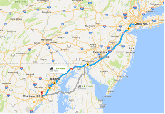
Having a list of N places of origin and M destinations, this library performs calculations quickly, for different modes (walking, by car, public transport, bicycle, etc) and at different times, as one can specify the time.
This tool was created by Rodrigo Azuero, Colombian, and specialist in the Fiscal Management division of the IDB.
Use cases:
Gmapsdistance has been used in different fields.
- To assess how important the distance of heart care centers is in the health of adolescents with congenital heart problems (https://www.ncbi.nlm.nih.gov/pubmed/29152921).
- Measure the accessibility of the population to different public transport services
- (https://www.ryerson.ca/content/dam/tedrogersschool/documents/Measuring%20accessibility%20to%20rail%20transit%20stations%20in%20Scarborough-final.pdf)
- Evaluate how much distance affects urban centers and the valuation of properties in California (https://www.ncbi.nlm.nih.gov/pubmed/28500916).
- It is currently being used to assess the state of access to health in Kenya.
Technical aspects:
R library that allows to calculate distances for a database through Google maps.
You can get the code here: https://github.com/rodazuero/gmapsdistance
You can download the library from the CRAN repository:
https://cran.r-project.org/web/packages/gmapsdistance/index.html
