Herramientas/Tool Index
Mapping Lomas
What is it?
Code repository to analyze the vegetation of the lomas ecosystem.
Why it was developed?
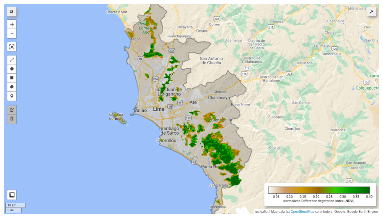
To analyze the vegetation cover of hills based on their greenness index, periodicity and frequency using historical analysis of multispectral satellite images from the MODIS (Moderate Resolution Imaging Spectroradiometer) sensor, as well as the influence of physical-geographical factors (orientation, altitude and slope) on the development of the vegetation cover of the hills.
Why we are sharing it?
To share the following objectives: To generate a map of the percentage and/or frequency of greening of coastal hills over a period of no less than 20 years. Two maps will be generated, one corresponding to the vegetation cover generated by winter fogs and anomalous summer rains.
Calculate a time series of biogeographic indicators for each hill or sector evaluated.
Analyze and generate statistical graphs of the green percentages obtained and their correlation with physical geographic factors.

Have you reused or are you planning to reuse this tool?
Simply send an e-mail to [email protected] requesting a "tool reuse badge", exclusive to the IDB.