Herramientas/Tool Index
MapMap

What is it?
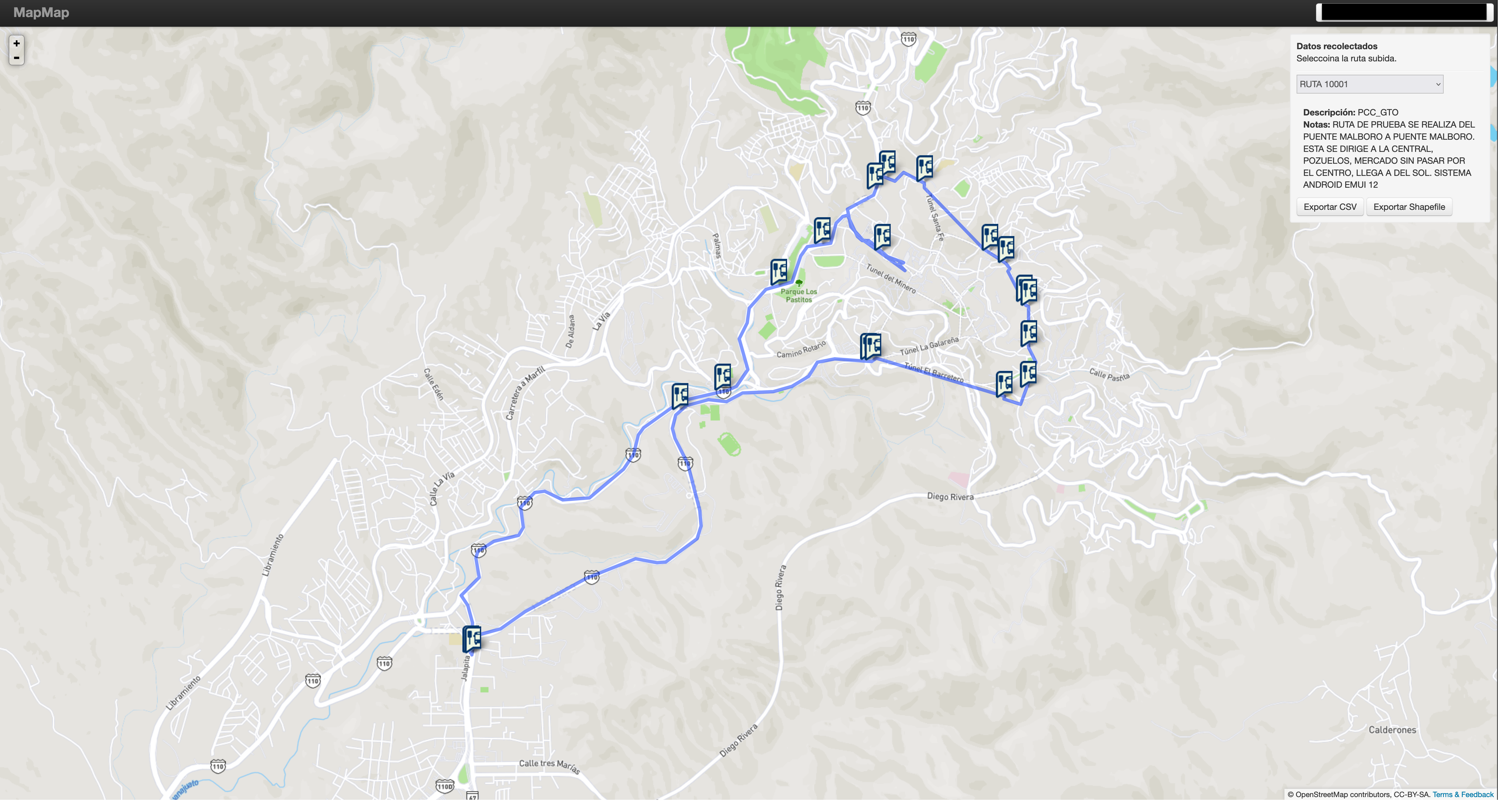
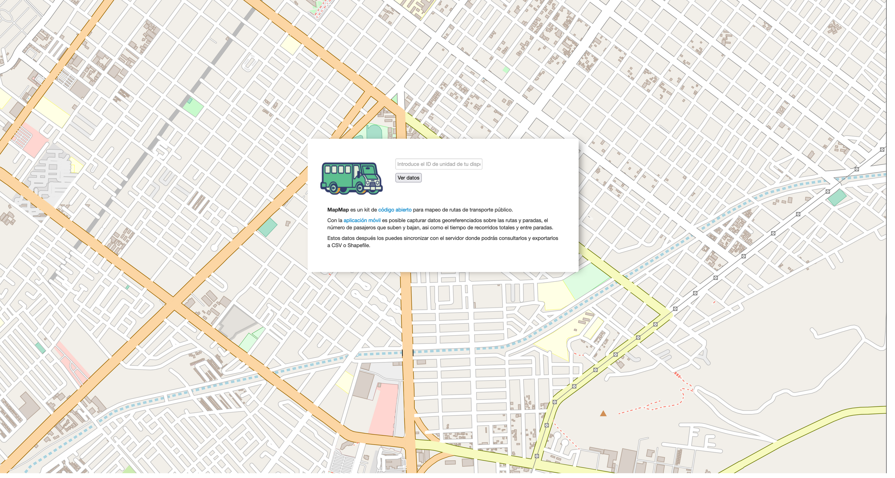
MapMap consists of an open source methodology and toolkit that makes it easy to perform collaborative public transport mapping, and allows small teams with few people and not much technical knowledge to generate and publish public transport data.
Why was it developed?
One of the inputs that makes it possible to analyze and subsequently plan improvements in the public transport network are digital georeferenced data on routes and infrastructure. However, few subnational governments have sufficient technical, monetary and human resources for their generation.
Why are we sharing it?
MapMap was developed thinking so that subnational governments of any size that need to generate and publish georeferenced data of their public transport networks can do so in a simple and collaborative way.
Have you reused or are you planning to reuse this tool?
Simply send an email to [email protected] requesting a badge for tool reuse”, exclusive to the IDB.