Herramientas/Tool Index
MESUE
What is it?
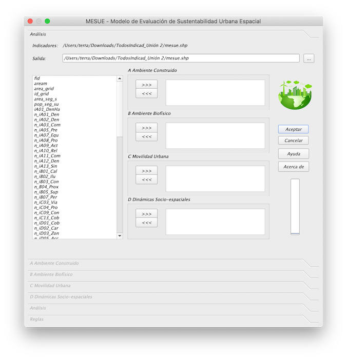
MESUE is a complement to QGIS for the spatial evaluation of the sustainability of the urban environment, using criteria of built environment, biophysical environment, urban mobility and socio-spatial dynamics. The tool is open-source and is based on the SSAM (Spatial Sustainability Assessment Model) plugin. More data and documents are available at https://llactalab.ucuenca.edu.ec
Why was it developed?
It was developed within the SISUrbano project by the LlactaLAB Sustainable Cities research group of the University of Cuenca.
SISURBANO starts from the need to know the urban form and its relationship with sustainability as a key to understanding the current challenges of our cities. Thus, after the development of a battery of urban sustainability indicators, adapted to the locality of an intermediate Andean city, such as Cuenca, the research focuses on the creation and application of an automated computer tool that allows measuring the different sustainability indicators in the urban fabrics of Cuenca. Next, the project explores the variability of the values of these indicators between the different types of fabrics, in order to show quantitative evidence of the correlation between sustainability and urban morphology. The results also allow a differentiated evaluation of the sustainability conditions present in each tissue. The latter enables the discussion of public policies that improve the quality of life of the least benefited (sustainable) sectors.
Why are we sharing it?
We believe that the tool is useful for researchers, students and urban planners.

