Herramientas/Tool Index
URSA
What is this?
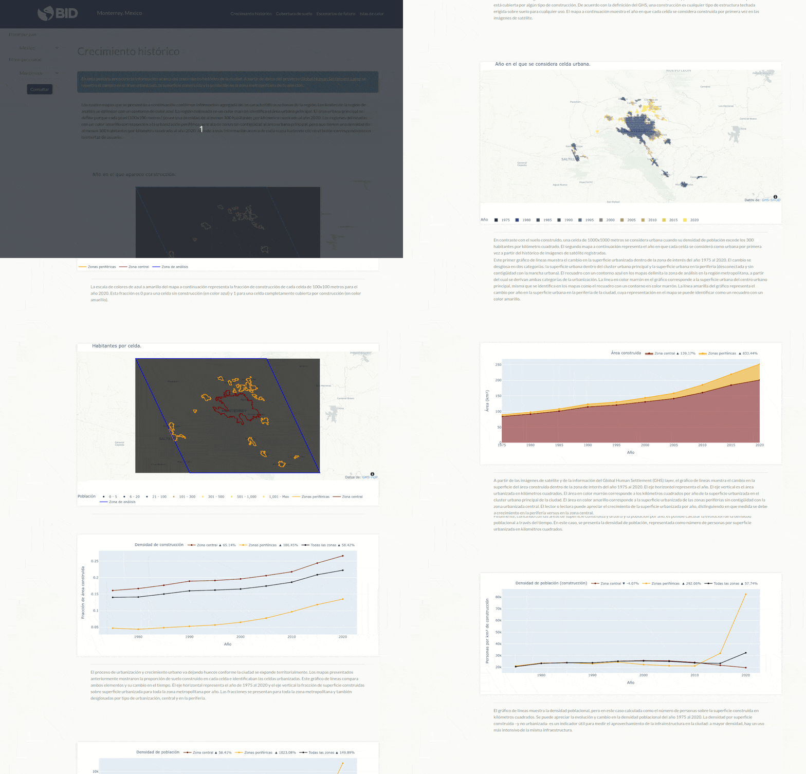
URSA is a support system for urban planning. It allows easy access to the enormous amount of information captured by satellite sensors, taking charge of collecting, processing and presenting key information about the evolution of cities in Latin America and the Caribbean (LAC).
This tool was developed under operation: RG-T3266
Why was it developed?
The system was developed in collaboration between the IDB's Housing and Urban Development Division (HUD) and the Center for the Future of Cities of the Tecnológico de Monterrey. The mission was to design a platform that allows municipal governments to easily acquire updated cartographic information, in the appropriate format and at the appropriate geographic resolution.
Why are we sharing it?
URSA is available to the general public, and especially to government teams, to support decision-making, planning and management processes in cities and metropolitan regions.

Have you reused or are you thinking about reusing this tool?
Email us at [email protected] and request an exclusive “tool reuse badge” from the IDB.
