Herramientas/Tool Index
MOTIS project
What is it?
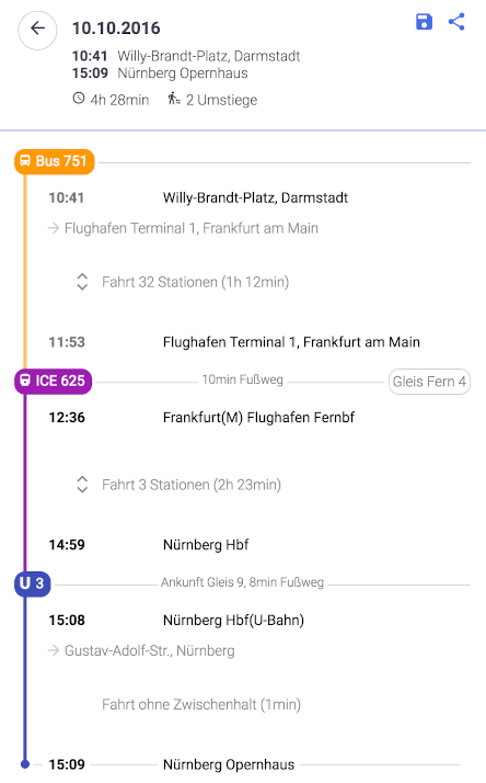
Information on intermodal travel.
Real-time routing, including trains, buses, streetcars, planes, bike sharing, ridesharing and more
Why it was developed?
MOTIS stands for Multi-Objective Travel Information System.
The main features are:
Intermodal routing : calculate optimal journeys by mixing public transport, sharing mobility, walking, etc. Read more.
Real-Time Support: taking into account delays, train cancellations, additional services, re-routing, track changes, etc. Read more.
Visualization: view vehicle movements in real time. Try it out!
JSON API : the backend provides a JSON API via HTTP.
Why we are sharing it?
To demonstrate the functionalities, an Android App and a web-based information system are available. The source code for both front-ends is also available as open source software.
The system can consume timetables in GTFS or HAFAS format, as well as real-time information in GTFS-RT (and RISML, Deutsche Bahn's proprietary format) as input data. For pedestrian routing (handled by Per Pedes Routing ) and car routing (handled by OSRM ), OpenStreetMap data is used.

Have you reused or are you planning to reuse this tool?
Simply send an e-mail to [email protected] requesting a "tool reuse badge", exclusive to the IDB.
