Herramientas/Tool Index
AP LatAm

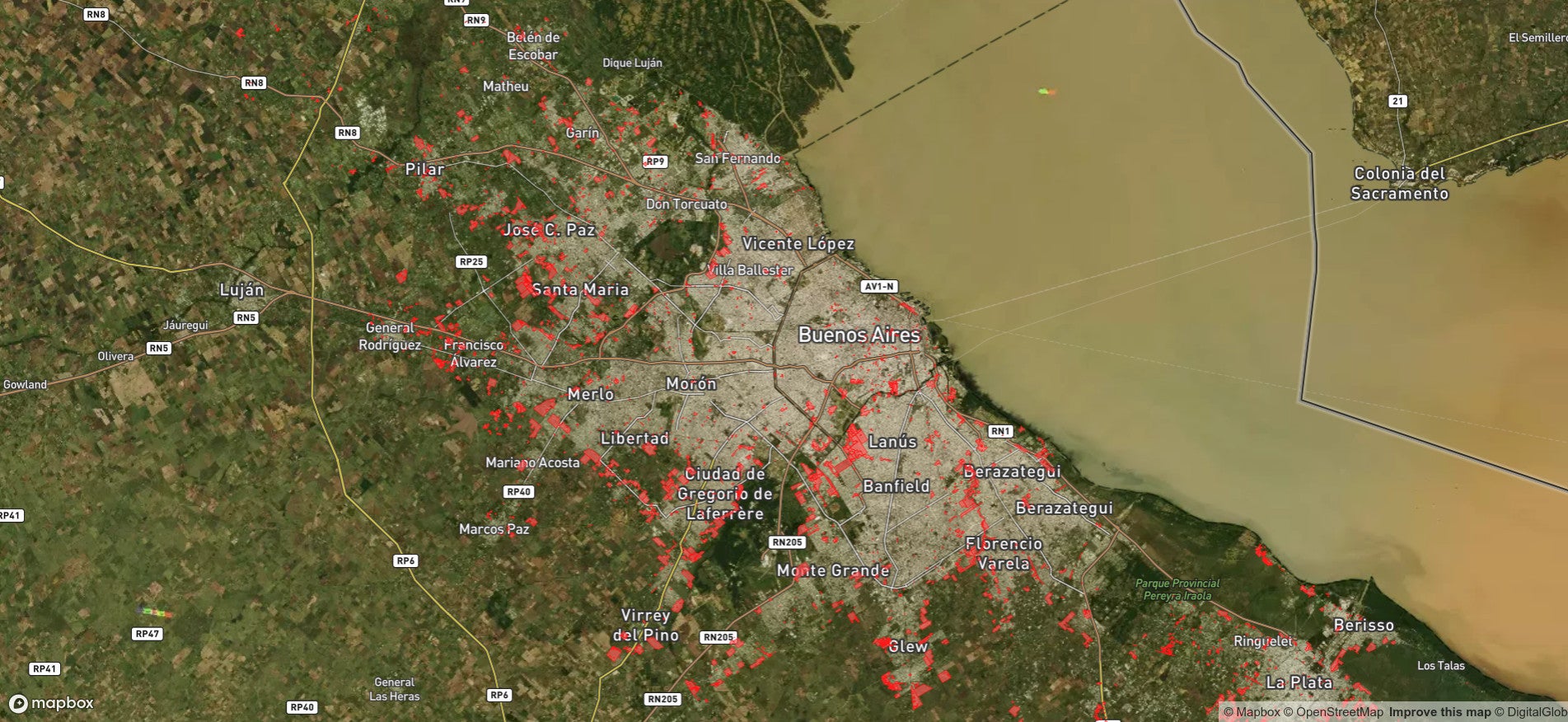
AP-LATAM was developed to provide updated information regarding growth of informal settlements in Argentina to support local decision-making. The tool is able to detect the location of informal settlements through satellite images and drones, and then visualize them on a map.
The tool was created by Dymaxion Labs in Argentina. It has been used in Buenos Aires City, Argentina; Asunción, Paraguay; Guatemala City; and Tegucigalpa, Honduras.
Read more about its history here: https://blogs.iadb.org/conocimiento-abierto/es/inteligencia-artificial-politicas-publicas-urbanas/
FUNCTIONS:
Image processing and analysis calibrated to detect the location of informal settlements in cities.
Algorithms in Python language using Tensor Flow, an open-source framework for machine learning.
You can find the code and more technical information in the README in the repository here: https://github.com/dymaxionlabs/ap-latam